Wow what a great riding day
First off, when they say "EconoLodge", they mean it. My room smelled, well, smelly. It's also the first time I've ever had to put sheets on my own bed and to top it off, there were only two sheets - no blankie, no disease ridden bedspread, just two flat sheets laying on a mattress. I won't discuss the mattress here, however...
Breakfast consisted of an amazing variety of Honeybuns, imitation Raisin Bran and slightly warmer than room temp coffee. And I was too lazy to warm them on my bike.
As I packed up the bike this morning, one of the guests (whom I'd seen checking in with what appeared to be a mail order bride) came over to talk bikes. He hadn't ridden in years and wanted to know all about the GS's. As much as I wanted to talk, I wanted to hit the road even more. But it goes with the territory so we talked for a while. I sooooooo wanted to ask him how he met his wife but was I was nice and didn't. But I digress.
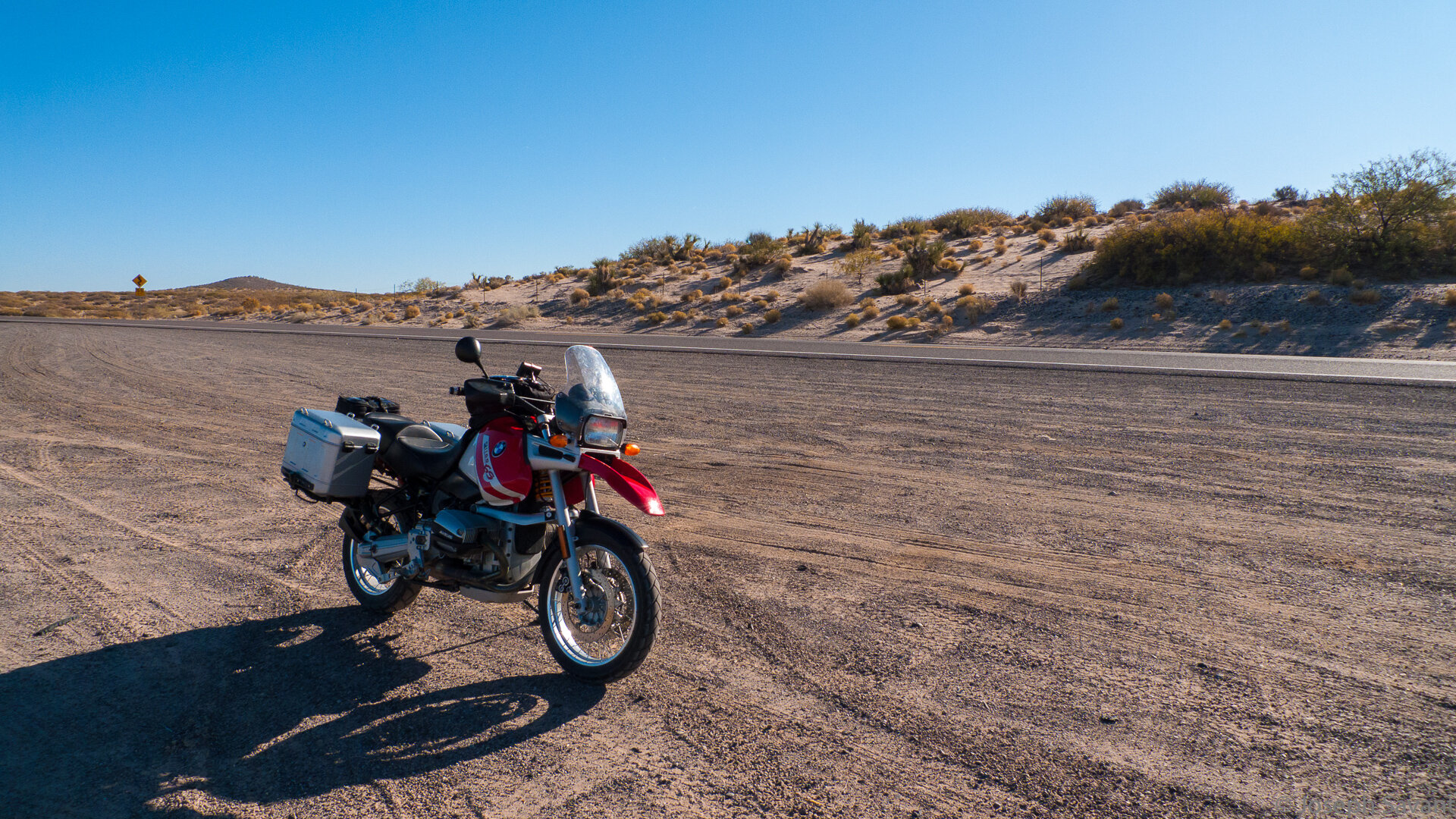
El Cerod Rojo was still parked where I’d left him and appeared to have made the night unmolested. He wheezed a bit but then turned into a smooth purr as he idled and warmed in the crisp morning air.
My stuff
My stuff on my bike and ready to git! Arizona here we come
I had decided to take New Mexico’s Hwy 9 along the border all the way to Arizona and my cheapo map didn't show where it connected in El Paso. The gal behind the desk told me several ways to get to it, all blending together and all of which I immediately forgot, only remembering the road number to start on. So I did and when I stopped for gas, that cashier gave me better directions.
When I got near to Hwy 9, I plugged in the next town - "Columbus" - and punched in "shortest route" on the GPS. It led me through a warehouse district, where I passed a gigantic collection of huge wind turbine blades. There had to be thousands stored there and that is not an exaggeration.
The pavement ended shortly after and a couple of miles or more on the sandy road, I saw what appeared to be a smoke stack with a pile of cardboard and junk around it. I veered towards it and slowed down as I approached, only to realize as I pulled up near it, that the "smokestack" was an optical spotting device and the “cardboard” was actually tan military canvas... It was a military observation and spotting post for illegals and I panicked momentarily, wondering if they'd shoot me for stopping and looking at them.
I decided to act like something was wrong with the bike instead and stopped, poking things on the engine and then rode on, rather than risking "an incident". Another mile or two and I hit Hwy 9 and turned west.
The sun was still low behind me and the temp was a bit nippy. The road was long and straight, with sand and cactus as far as you could see. A steady supply of Border Patrol pickups passed me going both ways and the one thing I'd forgotten about New Mexico was their ridiculous speed limits. 55. For the rest of the day.
At this point, many of you are saying, "55? So what? Ain't no cops out there!" I, however, have vivid memories of getting a ticket for going 70 in a NM 55 in the middle of nowhere, so there. Plus, having outed a military sniper/observation hide, I was sure they'd be watching me live by satellite at the CIA and looking for an excuse to nuke me... not to mention having notified all law enforcement in seven states that a big guy on a weird bike was running the border alone. Thankfully, I'm not a paranoid person or I'd be worried.
Hwy 9 stretches due west before me
I have to say the region is loaded with Border Patrol. On the highway, along the side roads, and further out, the observation balloons floating high in the sky.
I had assumed that Hwy 9 would be a long, flat boring stretch all the way to AZ and even so, I had no desire to travel I-10. I was wrong. As the miles passed, the vistas were great - much like traveling in west Texas, but then I dig that terrain. The road actually turned out to be a great ride.
As I got further away from El Paso there was no traffic, save for the occasional BP truck. At points, the road runs fairly close to the border and as I entered an area of washes and gullies, there appeared another observation camera post. It was in this general area that the observation balloons were watching as well, many miles back from the border. At one point you could see what appeared to be a fence along the border, but it also may have been a train track. It was hard to tell with the wind shaking my helmet.
Another interesting thing I saw were stacks of stones on the side of the road. They were stacked one on top of another, or on top of fence posts - but only in certain places. They call them “hoodoos” but didn't get a picture…
I arrived at the town of Columbus, home of the Pancho Villa Park and Museum, situated in what appeared to be an old fort. I toodled thru the town, had a long chat with 3 guys at the gas station about my bike, then zipped through the Pancho Villa Museum parking lot but decided not to linger. Wish I'd had more time as the museum looked interesting.
The old hotel... Still reminds of that one I stayed in in Cody
Just needs a lick o’ paint
That old tank on display was neat to see - bet it was hot as hell in it in the summer
Roadside memorial or “descanso” on the way. One of many I saw. This one happened to be in a curve and it, as well as others, probably spoke to car accidents, but along barren stretches I saw simple wooden crosses leaned against a barbwire fence, or occasionally a faded and wind-worn ribbon or bow. I couldn’t help but think they were for immigrants who never made it to their objective across the brutal terrain, maybe a remembrance from a family who knew the general area where they’d crossed. I certainly have no way to either prove or know this, just a feeling based on the landscape…
After Columbus, I reached Hachita, where an old abandoned Catholic church sits in ruins. The old town has a lot of broken down adobe buildings and would be fun to photograph in detail.
Heading on toward Animas, the stretches of road were awesome, with huge areas of land visible between the mountains and it reminded me of areas in Wyoming.
At Vista, I swung off to see a sign informing that this was the continental divide. It was appropriately named, as from there you can see great distances. Loved it.
Crossing the continental divide at Vista
As the miles rolled by, I watched hawk after hawk sitting on cacti, watching me back. At one point a lone coyote trotted out in the road and watched me approach, doing a slow circle around me as I passed. To my left I saw a pool of water which explained his boldness.
The colors of the rocks and mountains shifted redder as I closed on Arizona
Mountains in the distance - woohoo!
Approaching Animas, I dodged a couple of huge tumbleweeds as they tumbled straight down the road towards me. I was surprised how large they were and was glad I didn’t tangle with one.
At Animas, I waited in line and gassed up at the "Boot Heel" store, eyeing a 10 pack of home-made tortillas which I didn't buy, but finally found a map of Arizona. I knew staying off I-10 it would be difficult to find maps, but truth be told it's difficult finding ANYTHING.
A line for gas at the Boot Heel Store
Arizona map at last :D
While gearing up to leave, I heard a motorcycle horn and looked up to see a guy on a thumper heading east and giving a thumbs up. I gulped a bottle of water and headed on for Rodeo, New Mexico, or at least that's what I told the GPS. A little before Rodeo, there was a turn off to ride the forest service road over the Coronado Mountains and to the Chiricahua National Monument area.
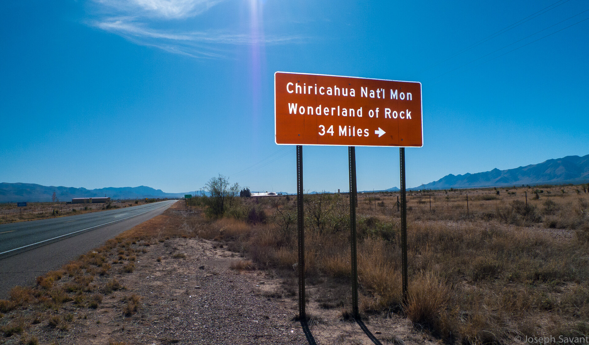
The Chiricahua Mountains in Arizona ahead
Going south on NM 80, I eventually found the Chiricahua National Monument sign and turned west for Portal, Arizona, portal to the Chiricahua mountains and Coronado National Forest.
The road led up into hills and trees filled with fall colors and began to twist and turn as it entered the base of the mountains.
I stopped at the Portal Store & Lodge to ask final directions before heading on.
This was a cool little place
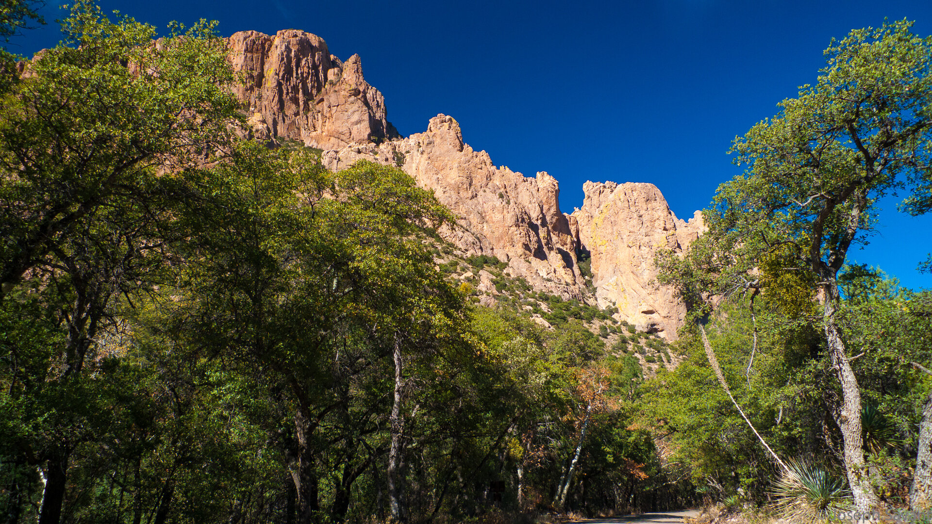
The road led past fantastic rock formations and slowly wound its way up the canyon, the blacktop finally ending and the gravel road progressively becoming rougher as it climbed higher for the crest of the range.
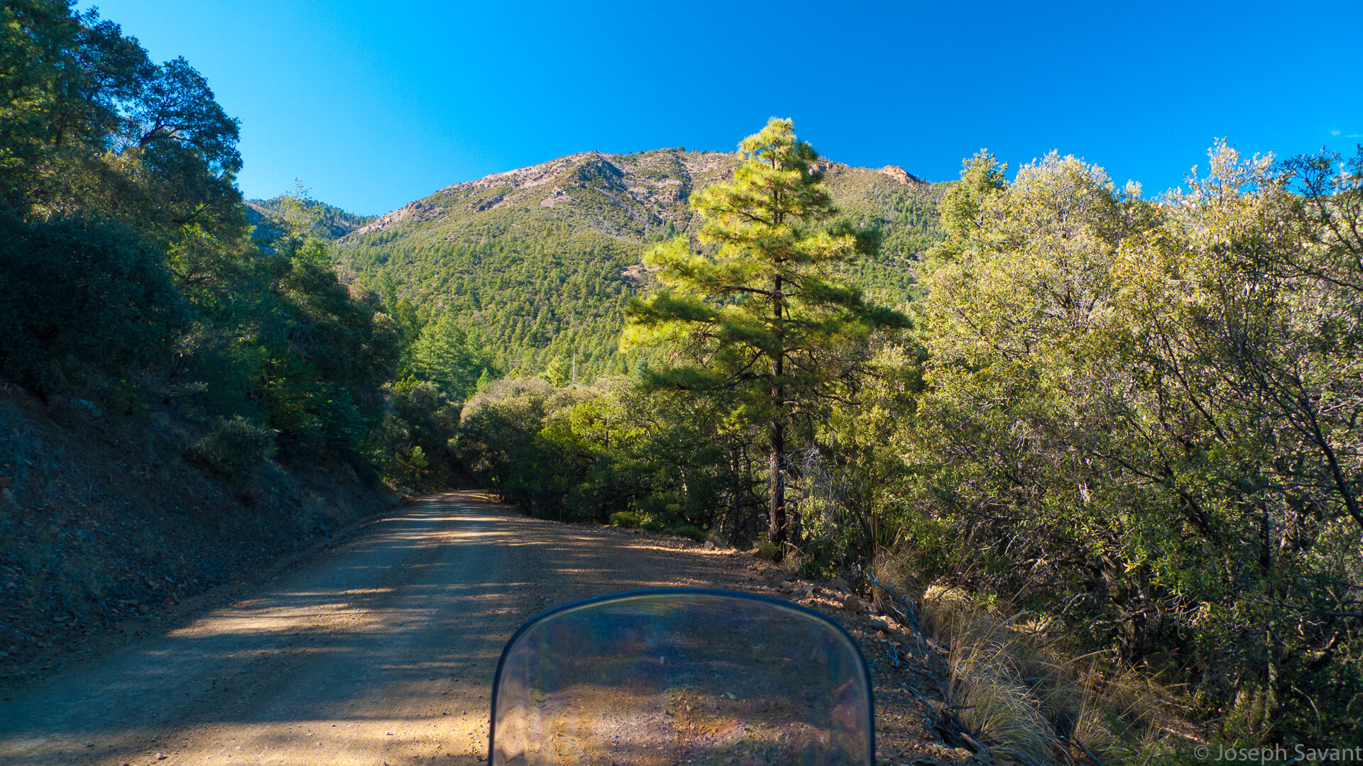
Signs warned of unmaintained roads and smuggling and illegal activity. The loaded GS purred its way up the twists, getting just squirrelly enough in the gravel and rocks to keep my attention.
As the road climbed, the views were fantastic. At one point a large mule deer burst from the brush and ran down the road in front of me. I really enjoyed this part of the ride, but it was also hard to rubberneck at the scenery since I had to stay focused on the loose gravel. I'm guessing it was about 20 - 25 miles through the mountains.
After climbing up and over the range, you descend slowly onto Pinery Road down in the valley, where the flats allowed me to enjoy some speed after slow going on the fire roads.
I eventually connected with the entry into Chiricahua National Monument.
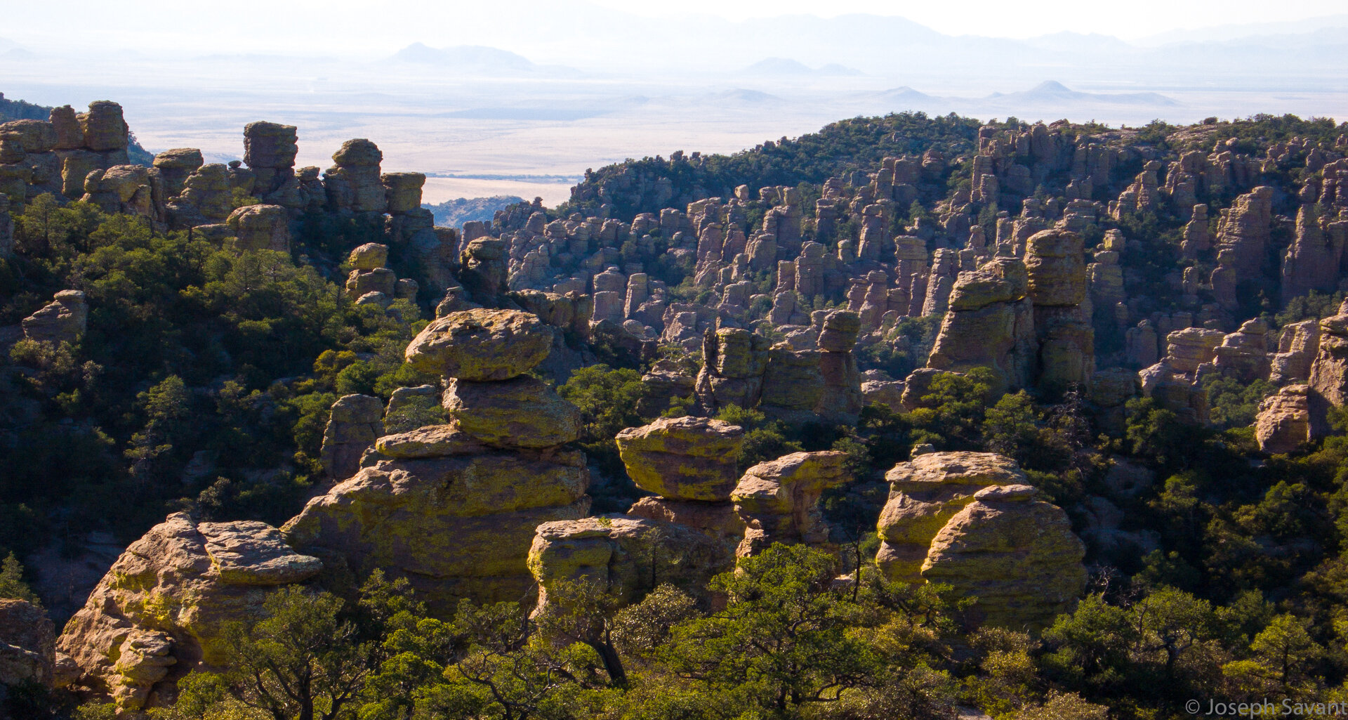
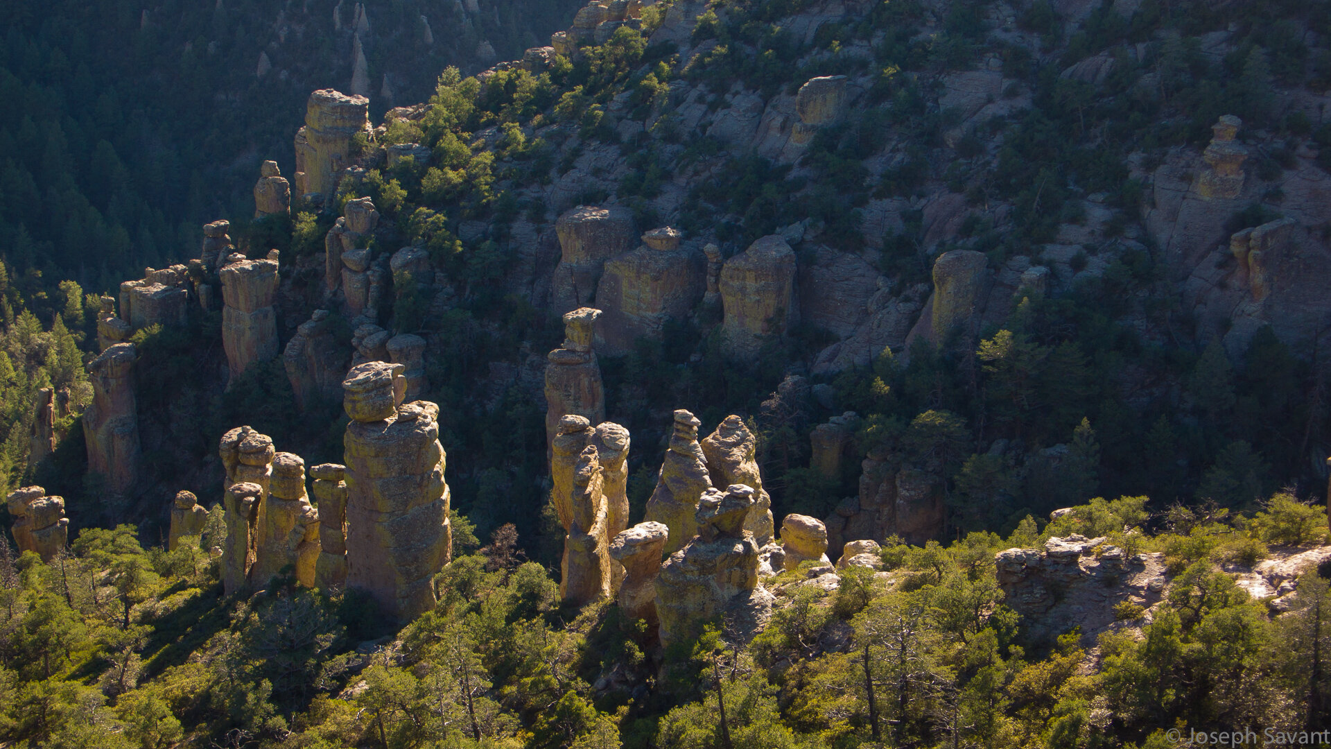
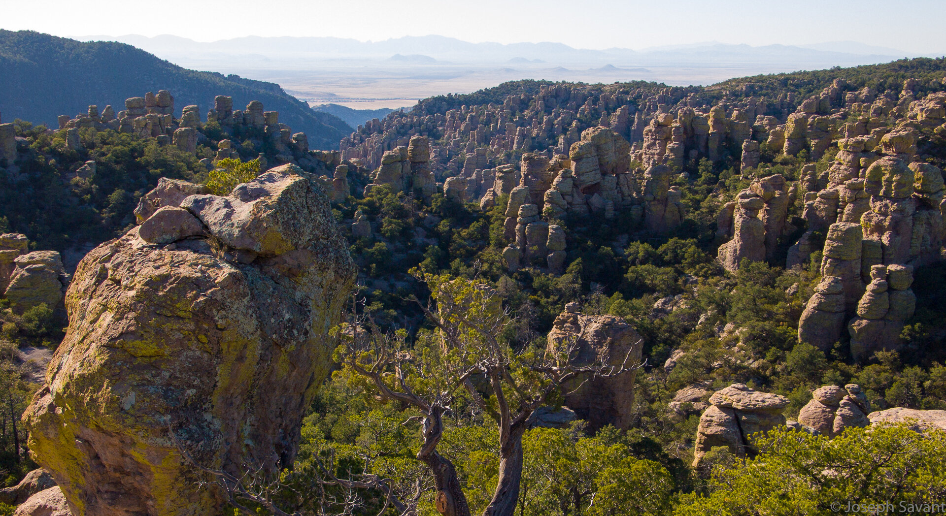
The area was used by Geronimo as a hide and the ride in brings views of stunning rock formations.
I stopped at the main center and paid entry, as well as buying a detailed map of Arizona counties for tomorrow's ride. The lady working there was surprised I'd come over the mountain on the bike, but most folks assume you're on a Harley. My plan upon leaving the park was to ride the Middlemarch Road over the mountain into Tombstone, but she said by the time I finished in the park it would probably be too late for Middlemarch Road.
Back out in the empty parking lot, I decided to take a few minutes to rest since I hadn't stopped all day and while drinking a bottled water, heard a strange grunt by my leg. I looked down and saw what I first thought to be a very large cat and then realized it was not. It appeared to be a Coatamundi or Ringtail or Something Grunty and It scared the hell out of me. He was big, weird looking and not something I expect to see when I look down.
After his grunt, he sniffed at my leg, then the back tire of the bike and turned to waddle off. By the time I got the camera out he was across the lot and when I chased after for a pic, he stopped and turned as if to say "Just try it".
Mr. Grunt, the Coatimundi
The ride up into the park is shrouded in trees in a narrow valley and occasionally you glimpse fantastic rock spires towering above. A road cut into the mountainside leads to the top and offers fantastic views.
At the top, I parked while a guy eyed my GS and poked his wife in the ribs. I walked down the path to a lookout area with an older couple, three other couples with them. Turns out they have a tradition of coming up to the park every year for Thanksgiving.
We yakked for a while and then the guy who'd been checking out my bike started asking about it. It turns out he and his wife are the editors of a riding magazine called "Full Throttle" and he's been thinking of getting a GS.
The views from up top are great. There are hundreds of massive rocks standing like silent warriors in the trees. My pics are crappy and don't do justice to the scenes. The park is truly a beautiful place and shouldn't be missed if you're in the area. I wanted to stay and hike some, but the sun was beginning to get low and I knew it was a ways to Tombstone yet.
I coasted down the mountain road, alternating from the warm sun to the cold of the blue shadows. Looking at the sun, I knew it was too late to ride Middlemarch Road over to Tombstone and I was getting tired, so I headed south on 181 to connect with 191 South. One of the maps showed a cut through road from 191 over to Tombstone by way of Gleeson, an old ghost town, so I headed that way.
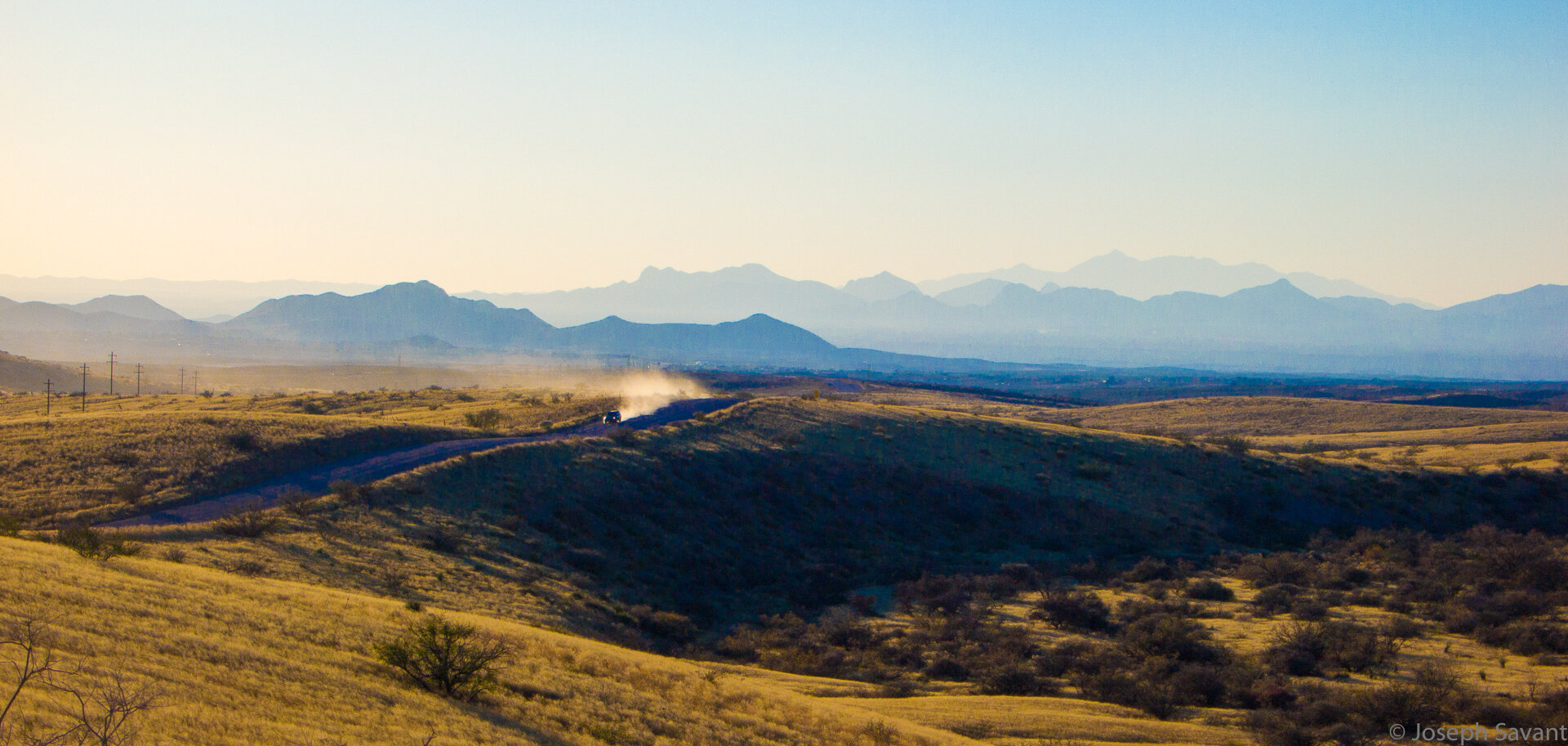
The dirt road was wide and easy, with enough silt and gravel to keep life interesting, but nothing difficult. I rode west into the slowly setting sun, occasionally being engulfed in a cloud of orange dust from a pickup or car heading the other way.
Suddenly I saw a big cat run quickly across the road about 150 feet ahead - either a lynx, bobcat, or maybe even a cougar. I suspect it was a lynx since it was larger than a bobcat and stockier, but with the sun and dust I couldn't see him clearly enough to say which.
A great day was ending and as I rode for Tombstone with a cloud of dust behind and the sun setting ahead, I couldn't help but think "How cool is this"
More mañana amigos!
The Route and altitude


